
On Monday, the National Transportation Safety Board (NTSB) issued a recommendation asking 11 tech and delivery companies to work on integrating the locations of more than 200,000 rail grade crossings into digital mapping products. The companies are Apple, Google, HERE, TomTom, INRIX, MapQuest, Microsoft, Omnitracs, OpenStreetMap US, Sensys Networks, Streetlight Data, Teletrac and United Parcel Service of America..
The call from the NTSB comes after a rise in accidents at grade crossings. The New York Times reports that Apple is already working to add NTSB rail data to Maps after the Federal Railway Administration asked for integration back in April 2016.
Grade crossings are defined as the intersections of rail lines and roadways. The NTSB cited the case of Jose Alejandro Sanchez-Ramirez, who misinterpreted directions from Google Maps and lodged his Ford F450 truck and trailer on a California grade crossing. Sanchez-Ramirez saved himself by abandoning the vehicle on the track, but an Amtrak commuter train hit the truck, killing the engineer and injuring 32 others aboard the train.
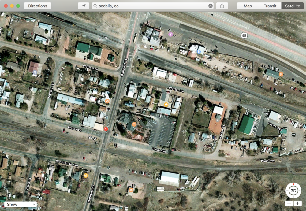
The image at the top of this posts shows two grade crossings in the small town of Sedalia, Colorado. While the crossings are easy to see in this satellite view, they don’t appear on the directions map and the rail lines only show up as thin blue lines. Hopefully, any integration of grade crossing data will call out grade crossings with a visual or audible warning.


