
Apple has filed for a patent (number 20200394834) for “simulated overhead perspective images with removal of obstructions” that shows at enhanced features for its Maps app on iPhones, iPad, Apple Watches, and Macs.
In the patent filing, Apple notes that digital maps store mapping information in a computer-interpretable format and can include and display features similar to those associated with traditional paper maps, such as geographical features, topographical features, political boundaries, attractions, and transportation networks.
Photographic images can be combined with mapping information, such as by displaying map features overlaid on an image. This type of display can be used to provide additional information to users of maps or can be used as a basis for annotating maps (i.e., adding additional mapping info) to describe features that can be seen in the image.
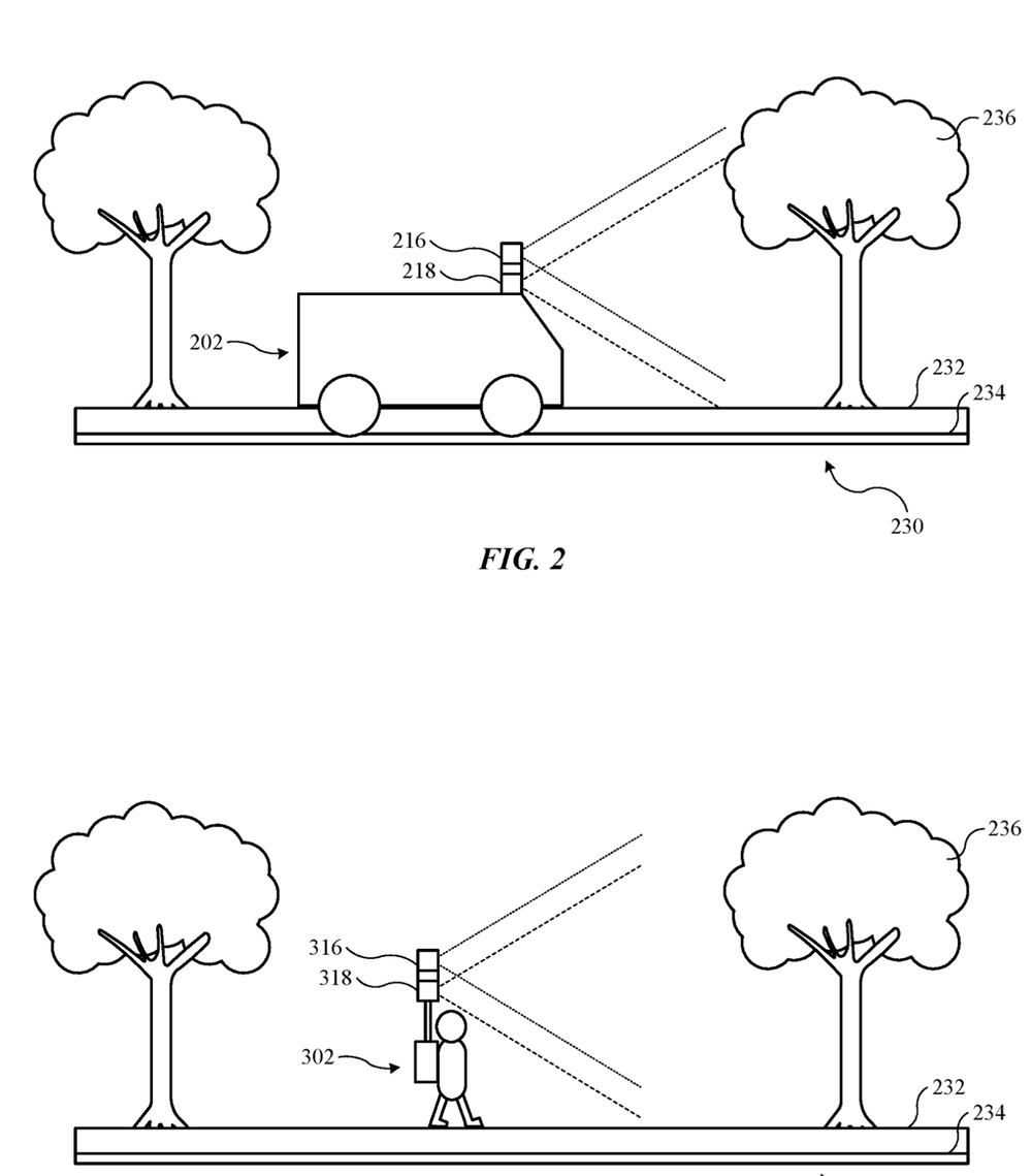
These images are typically captured using cameras that are carried by satellites or airplanes. Apple’s patent filing involves ways for Maps to better utilize such info
Here’s the summary of the invention: “A method includes obtaining a three-dimensional model that represents a natural environment and identifying ground-level surfaces from the three-dimensional model, wherein the ground-level surfaces from the three-dimensional mode represent ground-level features from the natural environment. The method also includes identifying overhanging features from the three-dimensional model, wherein the overhanging features from the three-dimensional model block visibility of the ground-level surfaces from the three-dimensional model when the ground-level surfaces are viewed from an orthographic perspective.
“The method also includes rendering a simulated image of the natural environment that includes at least some of the ground-level surfaces from the natural environment using a rendering system that generates the simulated image of the natural environment according to the orthographic perspective and ignores the overhanging features from the three-dimensional model so that the overhanging features from the three-dimensional model are omitted from the simulated image of the natural environment.”


