
Apple has rolled out a new version of its Maps app for iOS users in the UK and Ireland. Eddy Cue, Apple’s senior vice president of Internet Software and Services, says the upgrade provides faster and more accurate navigation, and comprehensive views of roads, buildings, parks, airports, malls, and more.
“We have rebuilt the map from the ground up, with better navigation, richer detail, more accurate information for places, and incredible features like Look Around, cycling directions, and curated Guides from trusted resources,” he says in a press release. “We’ve reimagined how Maps can help users find the places they love and get to where they’re going even faster and easier.”
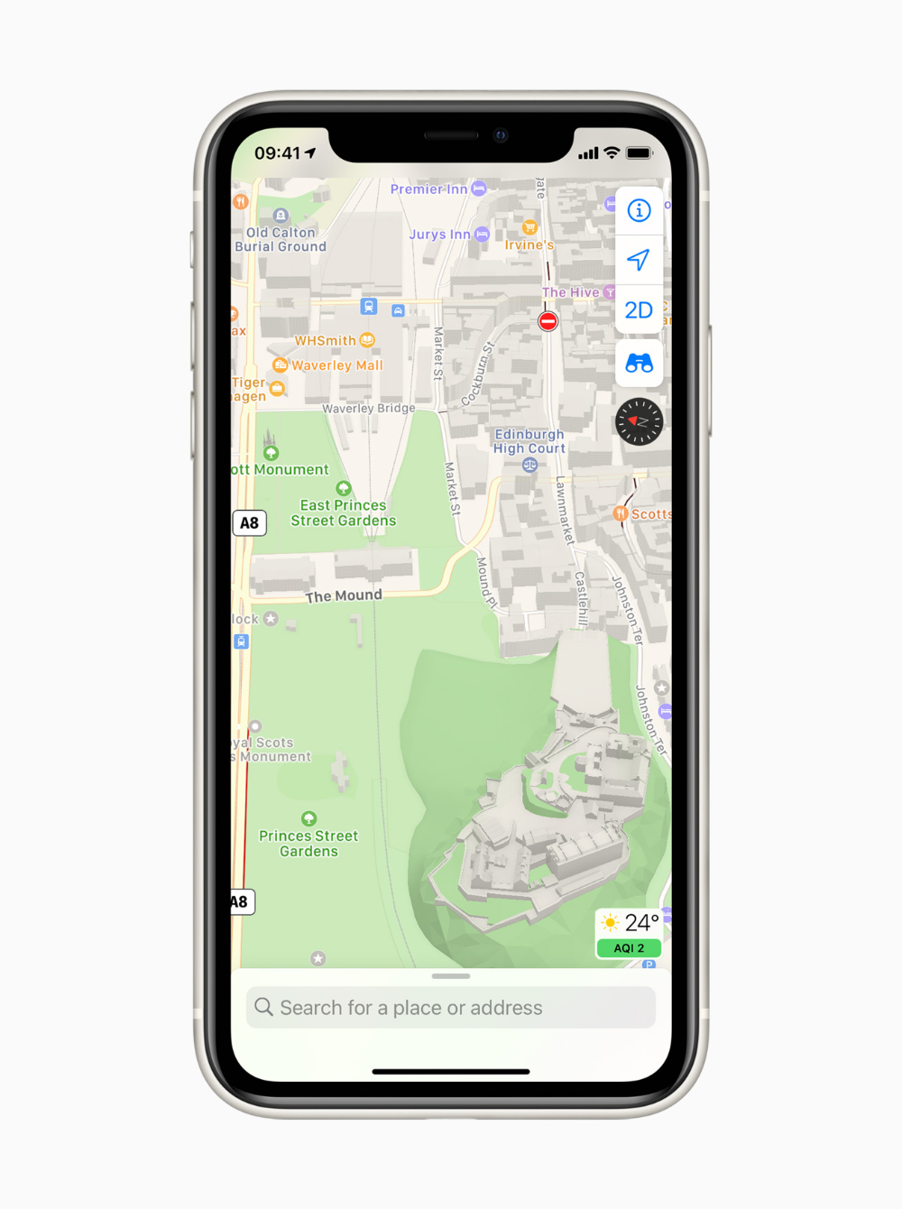
Maps is available in over 200 countries and territories. The app now offers interactive street-level imagery with high-resolution, 3D photography and smooth transitions through major cities with Look Around. Customers from anywhere in the world can navigate through London, Edinburgh, and Dublin, with many more places to come.
Guides provide a curated list of interesting places to visit in a city, created by a selection of resources including Time Out Group, Lonely Planet, and The Evening Standard. Guides are a great way to find popular attractions, discover restaurants, and explore new recommendations from respected brands.
With iOS 14, Maps offers new cycling directions, so users can see elevation for a ride, check how busy a street is, and whether there are stairs along the route. Electric vehicle routing adds charging stops along a planned route based on current vehicle charge and charger types.
Major cities around the world use congestion zones to help reduce traffic in dense areas, and now Maps lets users see these zones on the map and route around them when they are active.

According to Apple, Additional features in Maps include:
-
Real-time transit information gives detailed transit schedules, live departure times, arrival times, the current location of a bus or train en route, and system connections to help plan a journey. Maps also includes real-time information like outages. Real-time transit is available in many cities across the world.
-
Speed cameras will let users know when approaching speed and red light cameras along a route, with the added ability to see where they’re located on the map.
-
Share ETA sends an estimated time of arrival to family, friends, or coworkers with a simple tap. The receiver can follow along on the journey, and Maps will even update them with a revised estimate for when the traveler is arriving if a significant delay occurs.
-
Favourites provides one-tap navigation to frequent places. Whether it’s home, work, the gym, or school, users can simply tap and go once it’s in Favourites on the launch screen.
-
Siri Natural Language Guidance provides more natural-sounding directions. such as “At the next traffic light, turn left.”
-
Flyover offers a way to see select major metro areas with photo-realistic, immersive 3D views. Users can move their device through space to experience a city from above, or explore in high resolution as they zoom, pan, tilt, and rotate around the city and its landmarks.
-
Flight status uses on-device Siri intelligence to scan for information stored in Mail, Calendar, or Wallet, and proactively serves flight information for terminals, gate locations, and departure times, as well as flight changes or cancellations for upcoming travel.
-
Indoor Maps for airports and malls makes it possible for users to simply open the Maps app and see what level they’re on, restroom locations, and even which stores and restaurants are open.